Field guide / 04 / Viewpoints
Headlands seen from the light
A lighthouse catches your attention. Let the surrounding coastline hold it: the reefs, the layers, the long curve of the bay.
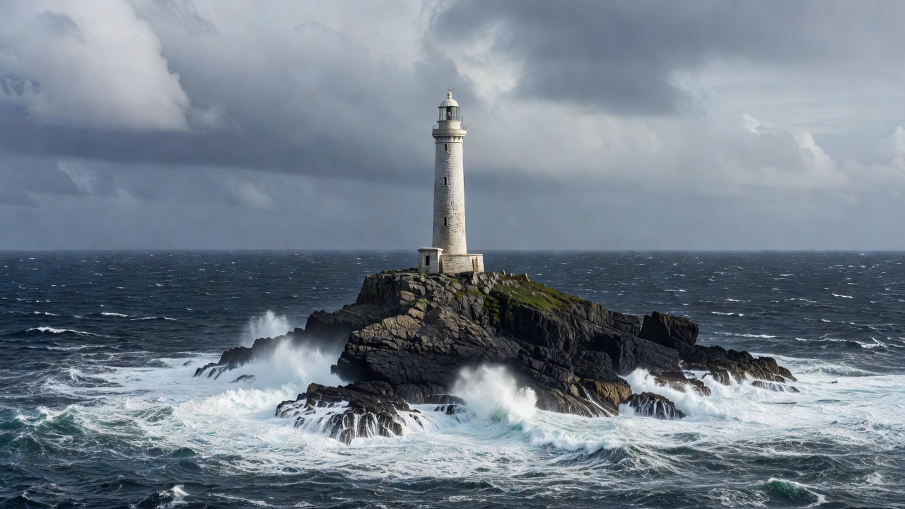
Start with the longest line
From a permitted viewpoint, follow the coast outward rather than looking only at the tower. Where does the land project into the sea? Where does it draw back? Does a line of offshore rocks continue the direction of the headland? A broad view helps connect features that appear unrelated when seen close up.
Headlands often reflect differences in rock resistance or geological structure, but coastline shape has many influences. Faults, earlier landscapes, sediment movement and changing sea levels can all contribute. Treat a projection of land as a question to investigate, not automatic proof that the rock there is harder than everything around it.
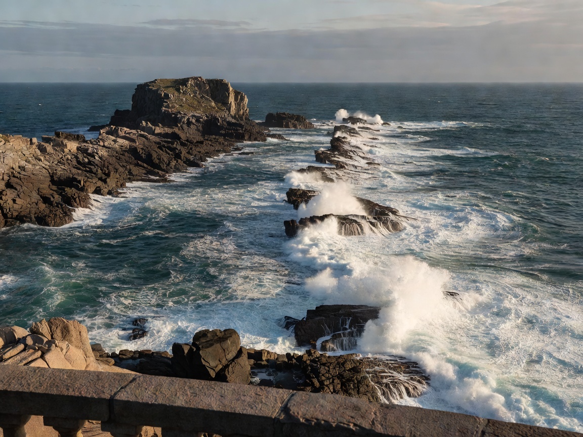
Use three distances
Begin with the foreground: an exposed band, a crack direction or the slope of a rock surface. Move to the middle distance: a cliff face, bay margin or stack. Finish with the wider outline. Ask whether the same direction or layering appears at more than one scale. Repetition can help reveal a structure that is difficult to recognize in isolation.
Perspective can also mislead. Separate outcrops may appear joined, a slope may hide its lower section, and a reef can disappear as water levels rise. Binoculars can improve observation from an established position, but do not walk while using them or move toward an edge to complete a view.
The lighthouse explains navigation, not geology
A lighthouse marks a navigational purpose that may relate to a headland, approach, hazard or stretch of coast. Its location does not by itself identify a rock type or prove that the ground around it is stable. Engineering foundations, access roads and protective works may also alter the immediate setting.
At some locations the tower is open for managed visits; at others it remains operational, private or inaccessible. An attractive photograph can hide gates, steep approaches and exposed crossings. Check the operator’s current information rather than following a social-media route or assuming that a visible causeway is open to pedestrians.
Compare landmarks with different settings
Portland Bill in Dorset offers a well-known association of lighthouse, limestone coast and offshore hazards. South Stack on Anglesey places a lighthouse on a small island separated from the mainland. Neist Point on Skye is another recognizable lighthouse landscape. These examples invite comparison, but they do not share one geological history or one access arrangement.
The Hook Lighthouse in County Wexford and Cape Byron Lighthouse in New South Wales broaden the comparison further. Before making travel plans, consult the relevant official visitor information. We name these landmarks as examples of coastal settings, not as endorsements of a route, statements of opening hours or guarantees of accessibility.
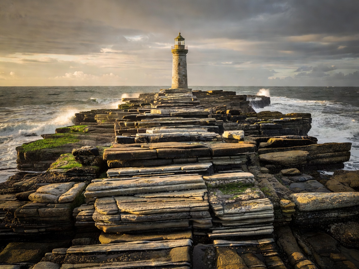
Choose conditions for looking, not drama
A strong wind or breaking sea may make a photograph dramatic while making a headland unsuitable for a visit. Wind can affect balance and make gates, steps or exposed paths difficult. Sea spray and rain reduce visibility and footing. Do not choose a storm visit simply because an elevated position appears beyond the reach of waves.
Check local forecasts, access notices and the suitability of the complete route, including the return. A headland path may be exposed even when the car park is sheltered. Carry appropriate clothing and keep equipment manageable. If conditions prevent an unhurried observation from a permitted position, leave the fieldnote for another day.
Connect the view with trustworthy context
Use a geological map to test whether an apparent line of outcrops follows the same mapped unit. Read site interpretation with attention to scale: a regional summary may not describe the rock beneath your feet. For UK lighthouse information, Trinity House and the Northern Lighthouse Board are useful official starting points within their respective responsibilities.
Record where you stood, what direction you faced and which features were actually visible. Separate “a dark reef runs toward the headland” from “the reef is the same rock.” You can enjoy the landscape fully while leaving an interpretation unresolved. A good field companion makes room for uncertainty rather than filling every gap with a confident story.