What our guides can do
They can give you a vocabulary, suggest comparisons and help separate an observation from an interpretation. They can point you toward geological surveys, conservation organizations, lighthouse operators and official coastal information.
They cannot establish cliff stability, identify every organism, predict the sea, certify a route or replace an expert site assessment. Named places illustrate ideas; they are not a list of places verified as open or safe today.
How we handle evidence
We favor explanations that can be checked against established geological and natural-history resources. External links identify useful starting points, not a claim that another organization has reviewed this website. We distinguish general processes from local details and avoid giving unsupported erosion rates or crossing times.
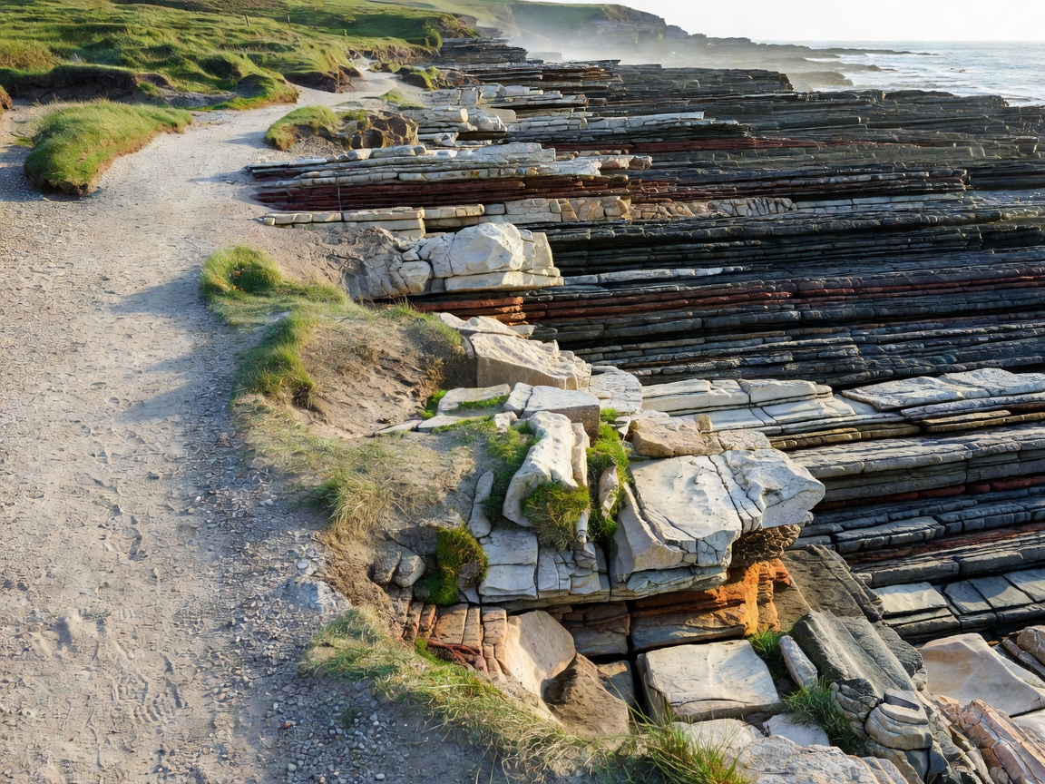
Photographs illustrate visible features. A caption names a location only when that location is established; otherwise it describes the subject without assigning a place. Simplified diagrams explain categories and are not maps, access plans or predictions.
A lighter footprint
Our default is to leave specimens, fossils, seaweed and animals where they are. We encourage permitted paths, respect for closures and distance from nesting or resting wildlife. Sensitive habitats do not need a precise public location attached to every image.
A different plan is often the responsible plan: use a public overlook, consult a map at home, or return another day. Curiosity does not create an entitlement to access.
Corrections are welcome
If a term is unclear, a link has changed or a geological explanation needs correction, tell us the page and the specific passage. Include a reliable source if you have one. We cannot promise a response time or provide urgent site advice.
Beaconshoreelrockt is not affiliated with the landmarks, public bodies, lighthouse operators or conservation organizations mentioned on this website.
Send an editorial fieldnote