Field guide / 02 / Erosion
Reading a retreating cliff
The edge of the land is not a fixed line. Watch for clues to change without putting yourself in its path.
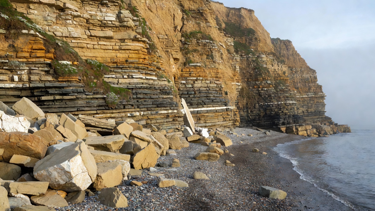
Notice the contrast before the cause
From a permitted viewing area, compare the cliff face with the material below it. A fresh surface may look lighter or less vegetated than its surroundings. Angular blocks can suggest recent breakage, while rounded pebbles have experienced a different history of movement and abrasion. Neither appearance gives a reliable date on its own.
Also look at the overall profile. Is the face nearly vertical, broken into steps or crossed by a broad slumped terrace? Do layers continue evenly, or do they tilt toward the sea? Record those observations first. A single view rarely reveals how deep a fracture runs or whether movement is continuing.
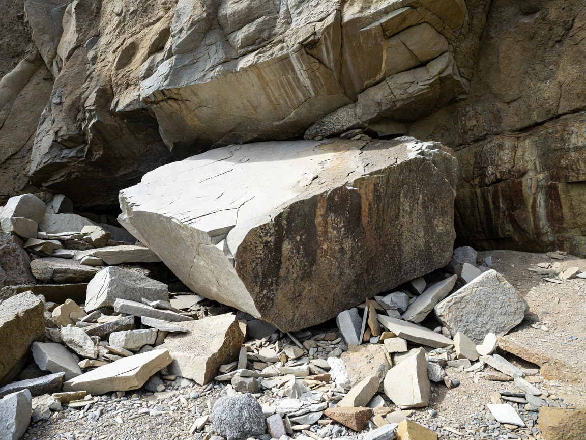
Separate processes that work together
Erosion removes and transports material. Weathering weakens or breaks down rock in place. Mass movement is the downhill movement of rock or sediment under gravity. At a coast these processes interact, so a cliff fall is not explained by saying only that “the sea did it.”
- Wave action
- Waves can force water and air into cracks and move sediment against the face. Their effect depends on exposure, water level and the material available.
- Weathering
- Salt growth, chemical changes and other local processes can weaken exposed surfaces. Freeze–thaw action matters where suitable temperatures and moisture occur.
- Mass movement
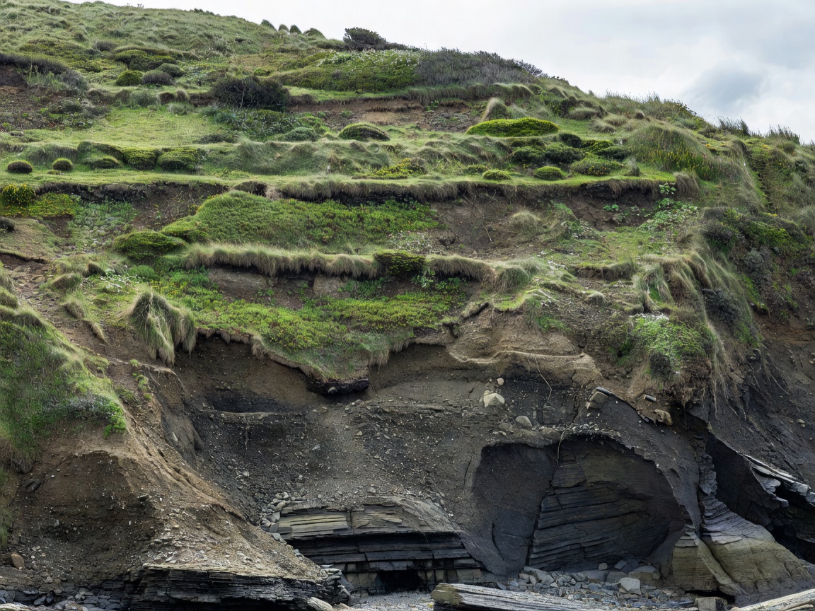
- Blocks may fall, debris may slide, or larger sections may rotate along a curved failure surface. Rainwater can influence stability.
Read the foot of the cliff from afar
A hollow or notch near the base may reflect concentrated erosion, but its visibility changes with beach level and tide. A broad rock surface extending seaward can be a shore platform. Such platforms may reflect a long history involving wave action and weathering; they are not necessarily cut at today’s water level alone.
Beach sediment can cushion a cliff in some conditions and supply abrasive tools in others. Storms may move that sediment away or pile it elsewhere. This helps explain why the same headland can look different on successive visits without the cliff itself having retreated everywhere. Compare like-for-like photographs before claiming a measured change.
Water can arrive from inland
Rain entering permeable material may meet a less permeable layer and move sideways. Springs, wet seams or vegetation changes can hint at this movement, although a distant view cannot confirm the underground arrangement. Water pressure and weakening can contribute to instability; the details depend on the site.
The Jurassic Coast, including parts of the Dorset and East Devon coastline, demonstrates varied cliff materials and landslide landscapes. The Holderness coast of Yorkshire provides a contrasting setting with extensive soft glacial deposits. Neither should be reduced to a single erosion rate. Rates vary between locations, periods and measurement methods, and an average does not predict the next failure.
Make comparisons without inventing precision
A useful repeat photograph includes the same stable landward reference, viewing direction and approximate framing. Record the date and note obvious differences in tide, beach cover or vegetation. Never return to a closed or deteriorating viewpoint simply to reproduce an old image. Safety and access rules outweigh the value of a matching photograph.
For measured change, use documented surveys or official monitoring rather than estimating from a dramatic image. The British Geological Survey offers landslide and geological information. In England, the Environment Agency and relevant local authorities provide coastal-management context. These sources explain processes and policy; current site notices still govern your visit.
Let uncertainty change the plan
There is no universal safe distance from a cliff edge or base that works for every coast. Cracks may extend inland, overhangs may be hidden, and falling material can bounce or spread. A fence is not a platform for leaning out, and someone else standing near an edge is not evidence that it is stable.
If a path is closed, turn back rather than making a route around the barrier. Avoid using a beach beneath cliffs as a shortcut. After heavy rain or storms, follow local advice rather than relying on how calm conditions appear now. The best erosion fieldnote may come from an inland overlook, a visitor center or a published survey.