Field guide / 01 / Formations
Rock shapes worth noticing
Begin with the outline. A gap, a pillar or a bent band of rock can open a much longer story about the coast.
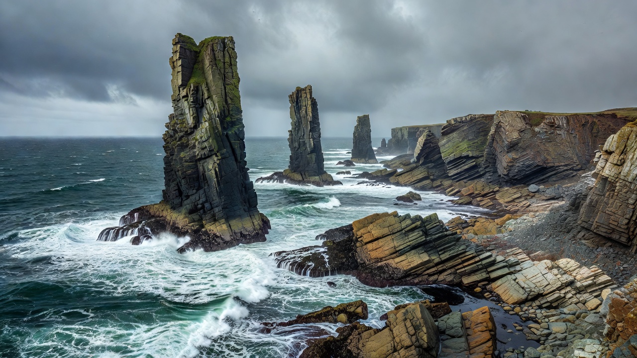
First, describe what is there
Before naming a formation, make a plain description. Is it connected to the headland? Does an opening pass right through it? Are its layers horizontal, tilted or curved? These simple questions keep an attractive explanation from getting ahead of the evidence.
A stack is an isolated standing mass of rock near a coast. An arch has an opening through a rock span. A cave is a recess extending into the rock; it need not become an arch. A stump is a much lower remnant, sometimes visible only at particular tide levels. Distance and changing water levels can make these shapes surprisingly difficult to distinguish.
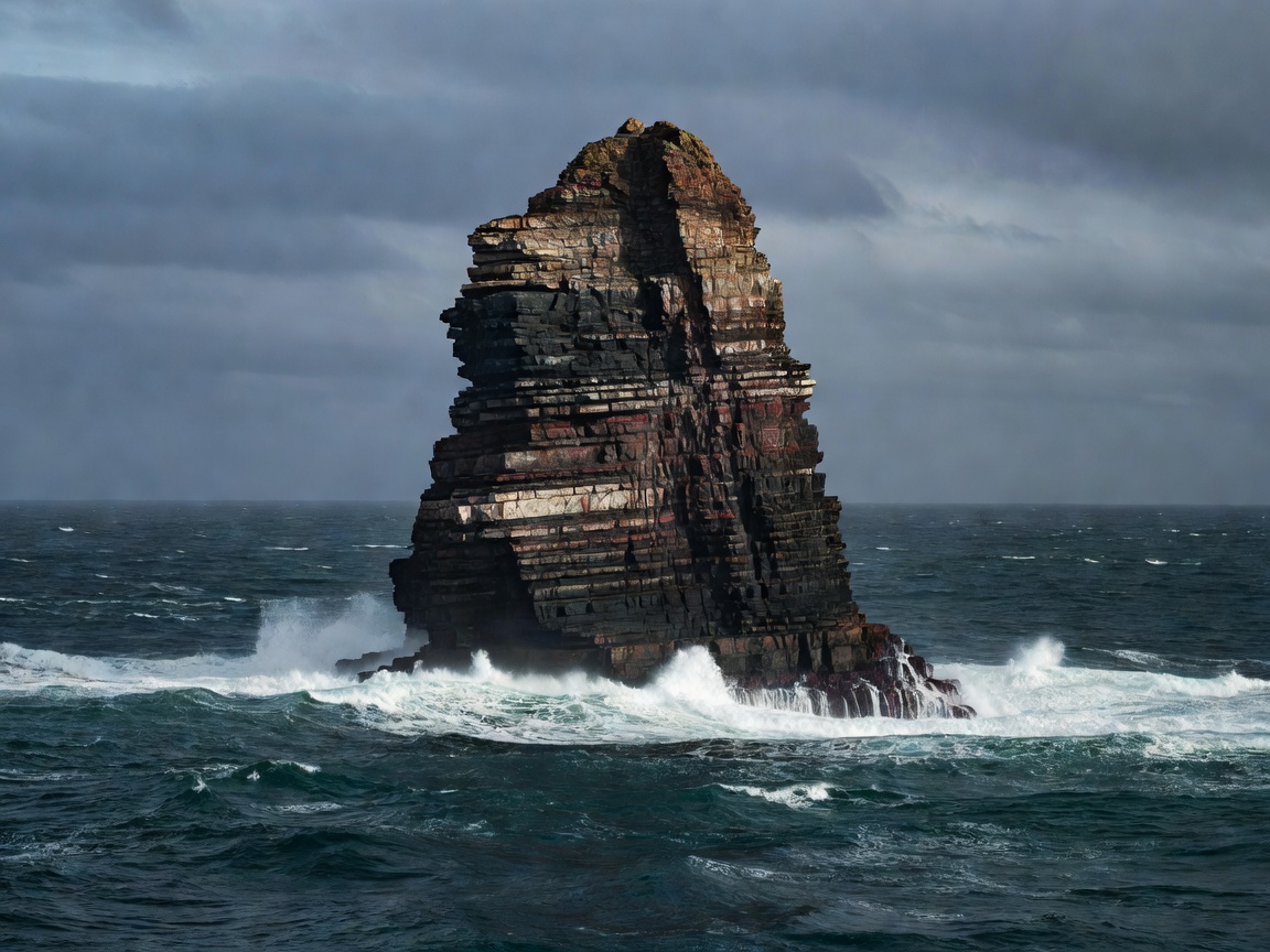
A silhouette is a starting point
Schematic only. Real coastlines do not follow a fixed cave-to-arch-to-stack timetable.
Read the weaknesses, not just the waves
Water does not attack every part of a headland equally. Joints are fractures with no substantial displacement along them. Faults involve movement. Bedding planes separate deposited layers. These structures can provide routes for water and lines along which blocks detach. The rock’s resistance, the direction of incoming waves and the supply of abrasive sand or pebbles all influence the result.
A familiar teaching sequence links cave, arch, stack and stump. It is useful as a sketch, but nature offers branches and interruptions. A roof may collapse before a large arch develops. A stack may be inherited from erosion around an already isolated resistant mass. Do not treat the diagram as a prediction for an individual headland.
Follow the layers around a bend
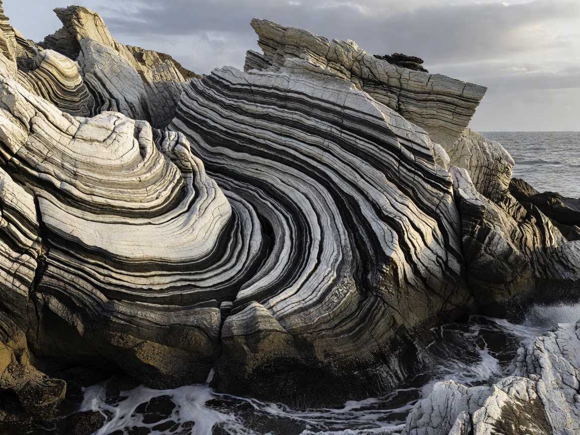
Repeated bands may record sediment laid down in changing conditions. When those bands curve together, they may reveal folding produced by deformation long before today’s shoreline existed. At other sites, an apparent curve may be a perspective effect, an uneven boundary or the shape of the eroded surface.
Look for several neighboring layers that bend consistently. Compare their thickness and trace their continuity from a permitted viewpoint. Avoid declaring a rock type from color alone: a wet surface, weathering rind, mineral stain or film of algae can all change its appearance. A regional geological map adds context that a photograph cannot supply.
Compare places without making them identical
The Giant’s Causeway in Northern Ireland and Fingal’s Cave on Staffa are celebrated for columnar basalt. Many columns formed as cooling lava contracted and fractured. Their geometric appearance belongs to the rock’s cooling history; the sea subsequently exposed and modified the outcrops. Not every coastal polygon has this origin, and not every column has six sides.
Durdle Door and Old Harry Rocks in Dorset show different expressions of a sedimentary coastline. The Twelve Apostles on Victoria’s coast provide another widely known example of limestone stacks. These places are useful comparisons, not interchangeable templates. Consult the British Geological Survey for UK geological context and official site managers for current visitor restrictions.
Make a fieldnote that can be checked
Record the observation separately from the interpretation. “Three pale bands continue across both faces” is an observation. “These rocks were once joined” is an interpretation that needs supporting evidence. A wide photograph and a closer image taken from the same safe position often explain more than a single dramatic crop.
Note your viewing direction and whether the rock was wet. Keep the original image rather than relying only on an edited version. Do not hammer, scratch, climb or remove material to test an idea. A careful drawing, a site interpretation board and a regional map can answer many questions without disturbing the outcrop.